Warning: Critical Snowpack in Montana is Below Normal
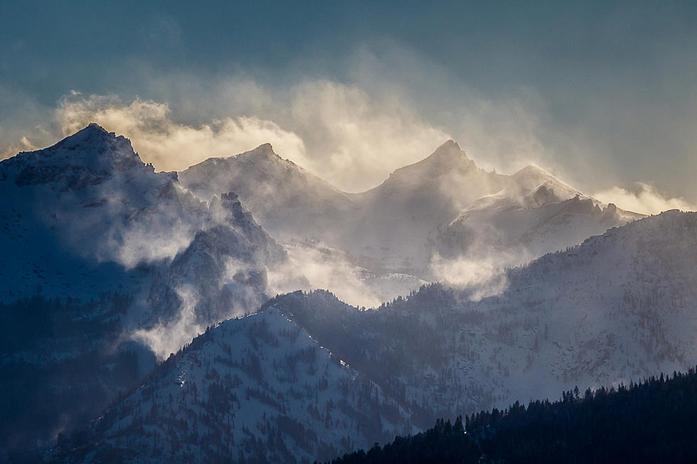
A lack of snowfall in February has concerned the researchers at Montana's office of USDA Natural Resources Conservation Service. A high-pressure ridge along the Pacific coast brought unseasonal dry conditions, especially to Southwest Montana.
In the monthly NRCS report from Bozeman, hydrologist Eric Larson said that the first two months of the year were not helpful to snowpack. "January precipitation was below normal for most of Montana, and February was worse in many river basins."
Statewide, snowpack is ranging between 77 percent in the southwest to 107 percent in the Marias, Powder and Tongue River basins in northern Montana. He said that precipitation will have to be "well above" normal to meet typical snow levels this year.

Looking at precipitation in the Bitterroot River drainage, the most amounts were in December, and precipitation was slightly above normal in January. But by the end of January and all through the month of February, the levels were below average.
Right now, the snow level for the Bitterroot River drainage is 93 percent of average, with a high of 95 percent at Saddle Mountain at Lost Trail to only 87 percent of average at Twin Lakes.
Larson, in a news release, said the snowpack could rebound with late season storms in March and April, which has happened in past years. In fact, the National Oceanic and Atmospheric Administration's (NOAA) Climate Prediction Center suggests better conditions (lower temperatures and more precipitation) in the coming weeks and months.
Streamflow in the summer could be affected
What about summer streamflow? The predictions are for lower streamflows through July in southwest Montana, but near normal west of the Continental Divide, which includes the Bitterroot and Missoula areas. However, that's a moving target. Again, if the temperatures are high and the rainfall is low, the streamflow will be affected, especially in the late summer.
LOOK: The most expensive weather and climate disasters in recent decades
Animals in Montana - Looking at You
More From 94.9 KYSS FM


