Hiking in the Bitterroot? Head to Lake Como!
Although there is an abundance of awesome trails right here in Missoula, sometimes I get the itch to get out of town and hike somewhere new — even if it’s only 20 minutes down the road.
After hearing nothing but good things about the trail that loops Lake Como — the largest lake in the Bitterroot Valley — I decided to check it out for myself last summer.
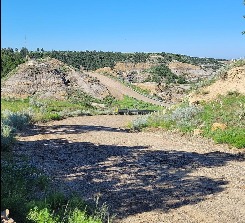
Compared to the steep mountain trails that I often run and hike during the summer, the Lake Como trail was a breeze. It was actually kind of refreshing to be able to focus my senses on the natural beauty around me, rather than staring at the ground to avoid stumbling on rough terrain.
The trail that circles the lake is about seven miles long, and it’s mostly flat — making it a great place for a leisurely stroll or a nice, relaxed run. There are a few gradual inclines here and there, but as far as Montana hiking trails go, it’s about as easy as it gets. But don’t worry — with tons of trees, flowers and wildlife to look at along the way, you won’t get bored. Plus, there is an awesome waterfall on the north side of the lake.
There are even a few spots along the way where you can stop and try your luck with a fishing rod, although I have yet to see anyone hook anything while fishing from the shore.
According to my Bitterroot friends, weekdays provide the best opportunity to appreciate the natural splendor of Lake Como to the fullest. During weekends, the lake is often abuzz with jet skis and boats.
After you’ve finished hiking, you can grab a spot at one of the picnic sites and enjoy an al fresco lunch, or head down to one of the beach areas to splash around in the cool mountain water.
To get to Lake Como, follow U.S. Highway 93 south of Hamilton and follow the signs to the Lake Como turn-off. Continue four miles west to the trailhead.
Brooke is a 2010 graduate of The University of Montana, where she ran track and cross country for the Grizzlies. She is currently working as a writer and editor in Missoula.
More From 94.9 KYSS FM


