Western Montana Storm Watch Posted
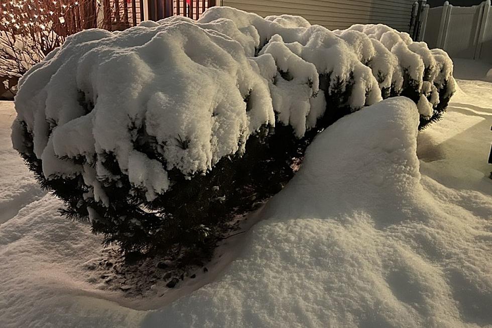
Looks like December is going to come in like a lion, folks. Our neighborhood weather is highlighted by a winter storm watch from Sunday evening through Wednesday morning and we're looking at quite the combo plate here, with mountain snow followed by an Arctic front. The National Weather Service says a complex weather system is moving in. First, a stream of moisture is being ushered into the region causing significant snow in the mountains. A rain/snow wintery mix in the valleys through Sunday will lead to snow on Monday as that Arctic front sweeps through the region causing temperatures to drop dramatically with strong northerly winds. Wind chills could approach dangerous levels at times. We are only expecting highs in the teens starting Tuesday through the rest of the week, and lows at night in the single digits. Missoula may even get its first below zero reading in over two years. Bundle up and please be ready. DB
More From 94.9 KYSS FM