Why Your Montana Weather App is Busted This Week
It's been a wild weather week here in Western Montana, as the remnants of Hurricane Hillary have flooded the West with more moisture than some locations have seen in decades.
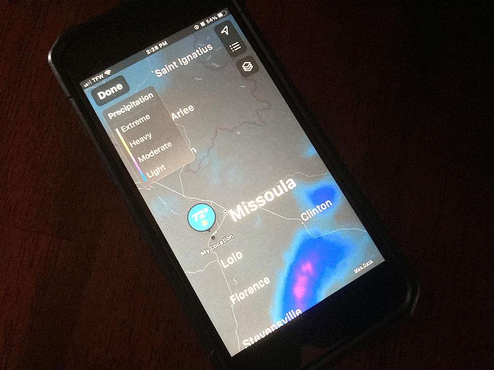
But if you've been anxiously checking your weather app each morning to see whether you should take a jacket before going out the door you've probably been frustrated when the information in your hand hasn't matched what's coming down on your head.
The problem isn't in your phone. It's actually on top of a mountain.

In Western Montana, forecasters with the National Weather Service Forecast Office in Missoula depend upon a sophisticated radar at a location known as Point Six. Located at more than 7,900 feet in elevation, it's only reached by a long and winding Forest Service road, through locked gates at a peak far above Snowbowl.

It's the perch that makes the difference
From the top, there's a view extending from the Missoula and Bitterroot Valleys to the south, Evaro, and points west and north into the Rattlesnake Wilderness Area. Although Point Six is known for its severe weather, from bitter winds and cold in the winter to a front-row seat for booming thunderstorms in the summer, the unobstructed vantage point couldn't be better for radar.

When Point Six was upgraded several years ago, it filled in a major "gap" in radar coverage for the rugged terrain in Western Montana. Previously, forecasters only had the snapshot from radars near Spokane and in Eastern Montana. That made it difficult to see locally developing precipitation. That made it tough to "see" weather in the mountain valleys stretching all the way into Central Idaho.
Which brings us to this week's problem
Every year, usually around the end of August, NWS has to take the Point Six radar offline for annual maintenance. That allows for the recalibration of the equipment, facility maintenance, and bringing up supplies like fuel to get the generators through the winter.
So for the past few days, that's meant the weather apps, which also pull information from the NWS network, haven't had a complete picture of the storms. That's why your app was probably telling you it was just "cloudy" Wednesday morning when it was a downpour. Or why the extremely strong thunderstorms Tuesday, which dropped over half an inch of rain at the airport, weren't completely visible.
NWS tells me the work should be complete and Point Six will be back online Thursday, helping you out with that wardrobe selection.
FUN FACT: The Point Six radar is so powerful it can actually pick up flying insect infestations in Eastern Washington, or major bird migrations.
Missoula's Outdoor Summer Water Parks
Gallery Credit: Chris Wolfe
More From 94.9 KYSS FM