Up to Eight Inches of Snow Expected in the Missoula Valley
The National Weather Service is predicting a strong weather system that will deposit up to eight inches of new snow in the Missoula valley this week, with a possible three feet of snow in the surrounding mountains.
Meteorologist Luke Robinson provided details of the system that will arrive late Wednesday night and continue through the end of the week.
“We do have a fairly large winter storm coming in starting probably around midnight, Wednesday night into Thursday morning, and we're going to see a lot of moisture overrunning an Arctic air mass during the day Thursday in western Montana,” said Robinson. “Given all the moisture with this atmospheric river, we are looking at significant snow accumulations for the mountains and valleys.”

Here in the Missoula valley, Robinson said this will be the most significant snowfall of the season.
“We're actually going to have our first round of light snow overnight tonight and early tomorrow morning and we should see around one to three inches of snow,” he said. “The big system comes in Wednesday night and during the day on Thursday, and from Wednesday night to Friday morning we're looking at anywhere from five to eight inches of snow in the Missoula valley. It will be the most we've had in a 24 hour period so far this season.”
With the snow in the Missoula valley, Robinson said travelers should be ready for much higher amounts in the surrounding mountains.
“During that same period we're looking at anywhere from a foot to two feet, and there's going to be continuing snow through the day on Friday going into Saturday morning,” he said. “So actually in the 48 hour period we could be looking at anywhere from one and a half to three feet of snow.”
Robinson said the temperatures will be seasonal for the beginning of January.
“Our morning temperatures for Thursday morning and Friday morning will be in the mid to upper teens here in the Missoula valley,” he said. “However, this arctic air mass is not going to stick around for a long time. The warmer air mass from the atmospheric river will push it further north during the day on Thursday afternoon and Friday, so we're not really looking at any bitter cold temperatures settling in to the valley this week at all.”
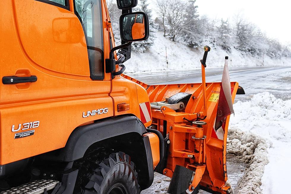
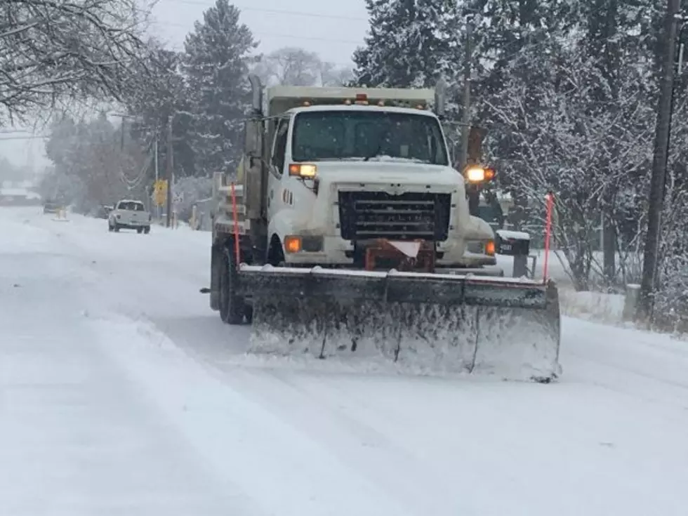
In a recent interview with KGVO News, Brian Hensel with the Missoula City Street Department asked drivers to be patient as snowplows remove the snow as quickly as possible while they adhere to their snow removal schedule.
LOOK: The most expensive weather and climate disasters in recent decades
Gallery Credit: KATELYN LEBOFF
TIPS: Here's how you can prepare for power outages
KEEP READING: Get answers to 51 of the most frequently asked weather questions...
More From 94.9 KYSS FM