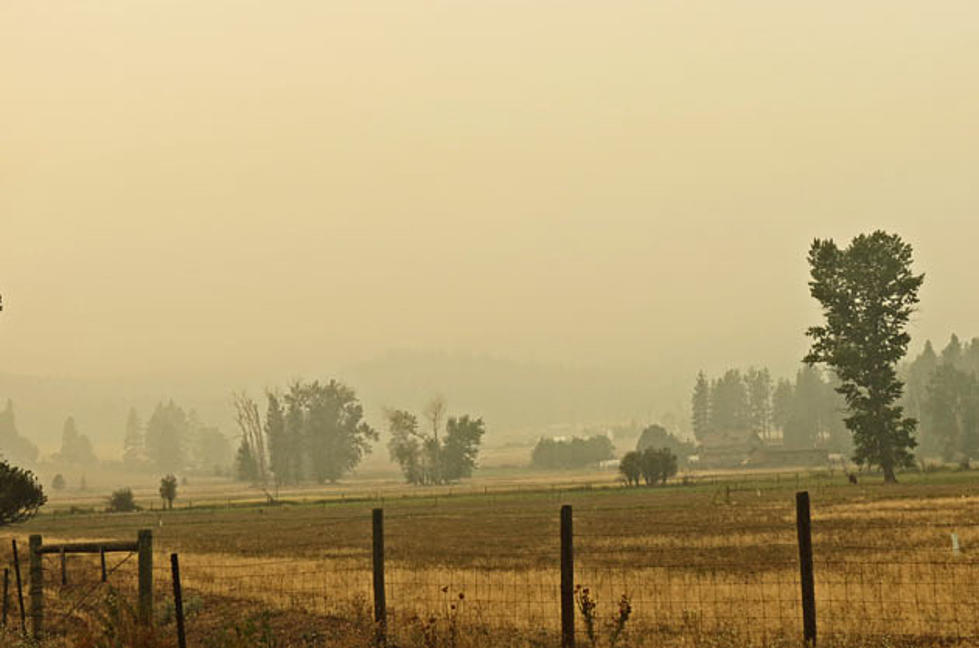
Smoke and Fire Update – Monday September 3
It depends on where you are.
During the day Monday September 3, the Air Quality Monitor at the Ravalli County Courthouse in Hamilton registered hourly levels of “Unhealthy for Sensitive Groups” and even “Moderate” in the late afternoon. The cumulative levels, however, stayed mainly in the “Unhealthy” zone, meaning everyone should limit prolonged exertion and those with health problems should avoid prolonged exertion.
However, if you drove north through Victor, Stevensville and Florence, the air quality was much worse and visibility dropped markedly.
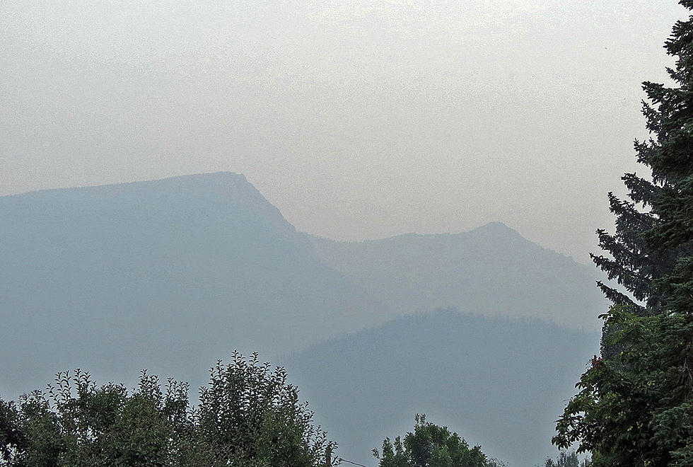
Most of that smoke is coming from the Powell SBW Complex in the Selway-Bitterroot Wilderness. Those fires have covered over 31,000 acres so far, and a new fire was added to the complex – the Bell Point Fire (see photo). It’s small now, but is expected to grow.
The Powell complex is also affecting travel on US 12 over Lolo Pass. The Freeze Out Queen Fire is moving toward that highway and structure protection has been completed around Powell and the Lochsa Lodge. The fire was so smoky Monday morning, that helicopters were grounded for a time.
The Bitterroot Valley’s Sawtooth Fire, which blew up from 30 to 310 acres in an afternoon wind Saturday, has been moving to the west, away from Hamilton. However, crews will be installing sprinkler systems along the western edge to try to keep it out of Canyon Creek, which Public Affairs Office Tod McKay says has dense timber and heavy fuels.
The Sawtooth Fire was still at about 310 acres Monday morning. Two helicopters are dumping water on the blaze in extremely rugged and steep terrain.
The Sawtooth Trail is closed. There an informational Forest Service “Fire Wagon” along Highway 93 across from the Roaring Lion Road turnoff. It will be open from noon to 8pm daily.
The massive Mustang Complex of fires on the Salmon-Challis National Forest and the south end of the Bitterroot National Forest has covered 360 square miles so far, with the potential to grow more. The Mustang Fire and the Lost Packer Fire have combined. On the Idaho side, evacuations have been ordered in areas about 20 miles north of Salmon along US 93, including the Gibbonsville area. us 93 remains open but there are areas of 35 mile per hour speed limits, and at times, pilot cars. Travelers should be aware of heavy fire traffic.
Where the Mustang Complex has crossed into the Bitterroot Forest, it is burning between last year’s Saddle fire and this year’s Chrandal fire, which means the Hughes Creek area is under evacuation warnings for the second time this year. Structure protection has been completed along the Hughes Creek Road, south of Painted Rocks Reservoir. The fire also has been heading east toward Lost Trail Powder Mountain ski area. Structure protection is in place there, too.
In the middle of the Selway-Bitterroot Wilderness, about 25 miles east of Elk City, the 9,000 acre Porcupine Complex is burning down toward the Magruder Road. The road is only open from 10 a.m. to 12 noon each day. Those conditions could change, so check the latest information before heading in.
McKay said the weather forecast calls for warm and dry conditions, increasing the potential for the fires to spread. He reports that the National Weather Service reported the driest August since 1948 in western Montana.
More From 94.9 KYSS FM