NWS – Record Snow and Record Cold for October in Missoula
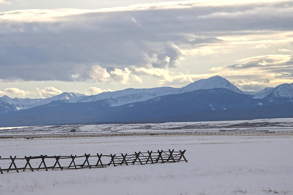
It may come as no surprise to anyone who had to shovel their way out of their driveway on Saturday, but the National Weather Service hasn’t seen this kind of winter weather in Missoula for over 100 years.
Meteorologist Jeff Kitzmiller provided details early Sunday morning.
“We ended up with 13.8 inches of snow here at our office out at the airport,” said Kitzmiller. “That actually puts us at number two for the most snowfall we've ever had in October for a two day event. It was 15 inches in 1914. We even had some totals though of up to like 19 inches in Potomac over to Avon, a little quarter there north of Drummond, and then on either side of that a lot of people ended up with over a foot of snow.”
But it wasn’t just the snow. Kitzmiller said once the sky began to clear, temperatures plummeted to record lows, as well.
“We just currently broke our all time October cold record here at the airport, as well,” he said. “We've reached negative seven for now but it's been fluctuating between negative seven and negative four. It's cold everywhere, and we have more cold daytimes, another cold night tonight and into tomorrow. It does look like we there's a just a slight chance of some snow tomorrow.”
Kitzmiller said the cold of the snow itself will keep temperatures from warming up as was previously predicted.
“We’ve just never had this much snow on the ground this time of year, at least in the last 100 years,” he said. “So that affects a lot of things. And since each day we're losing a little bit of our sun angle it makes it a little harder to overcome that cold that's in place. The upcoming weather pattern will try to do it every day. There's enough warmth that it's going to just kind of cut away at it a little bit. One thing if the snow doesn't go away, then we'll probably end up kind of sitting in a place where we won't be as warm for a while.”
Kitzmiller said it could be at least a week before the weather looks more like fall than winter.
“There is some warmth that's showing up in the extended models that might be able to get rid of most of it,” he said. “But we still just have to see how the next week evolves before we can tell how much of the snow and cold we're actually going to get rid of.”
Kitzmiller said one of the unusual aspects of this winter front was that the mountain passes received about the same snow amounts as the valleys.
CHECK IT OUT: 10 Items Might Be in Short Supply This Winter
More From 94.9 KYSS FM


