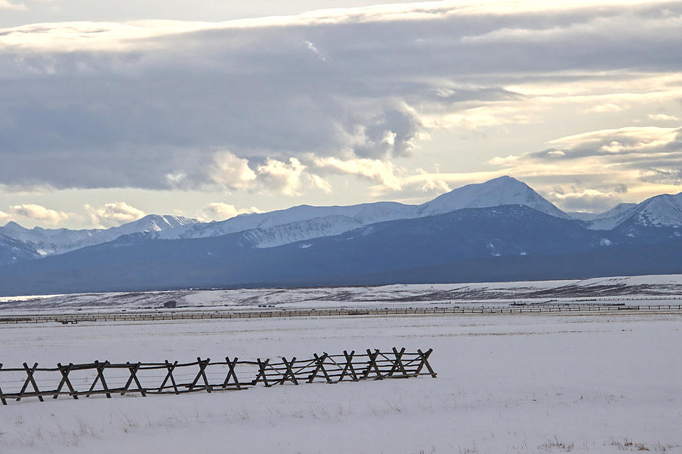
Local Snowpack Is Lower Than Average
Snow levels are generally below average in Montana so far this winter, according to the latest snow survey from the Natural Resources Conservation Service in Bozeman. The monthly update noted the arrival of "La Nina" in the Pacific Ocean, which brought above average snowfall with a definite increase in the Sun River and St Mary River area of the state. The eastern and southwestern parts of Montana didn't fare so well, according to water supply specialist Luke Zukiewicz.
In November, the weather pattern changed and storms missed the southern half of the state, including the Bitterroot River drainage. The dry period extended into December with automated SNOTEL sites reporting almost no snowfall between November 20 and December 12. The low and mid-elevation mountain locations were also missed by the passing storms. Finally, as January came around, so did more active weather and snowpack is again building.
Zukiewicz said the Gallatin, Madison and Jefferson River basins had only 66 to 87 percent of normal snow water levels on January 1. However, up around the Milk River on the Front Range of the Rockies, the snow levels were over 100 percent of average.
On January 1st, the Bitterroot River drainage reported 94 percent of normal for this time of year, but precipitation is only 83 percent of average. The Upper and Lower Clark Fork is worse, with 89 percent of average snow levels and only about 65 percent of normal precipitation.
In a news release, Zukiewicz said NOAA is predicting above normal precipiation for the next two weeks, "At this point, we'll take what precipitation we can get, especially in southwestern Montana. Just last winter, snowpack totals in many river basins in western Montana along the Idaho border were below normal, only to have the weather patterns change and improve conditions before we got to runoff."
You can dig into the numbers yourself at the NRCS website.
LOOK: Famous Historic Homes in Every State
More From 94.9 KYSS FM


