Wet Weather Pattern Sets Up for Bitterroot
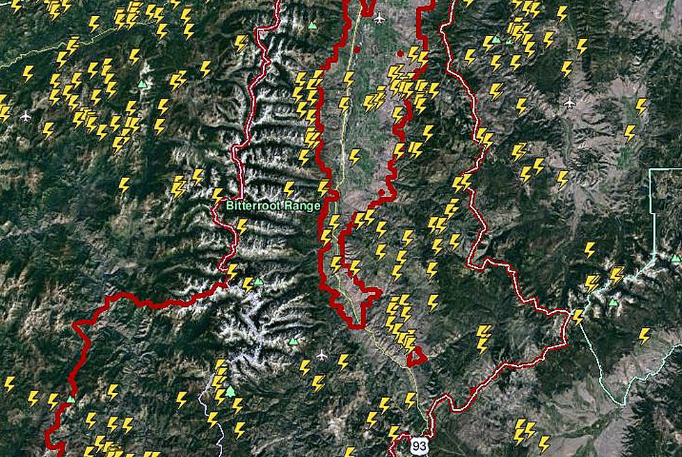
A lightning storm Thursday afternoon, May 16, signaled the beginning of a weather pattern change over Western Montana. The National Weather Service office in Missoula noted a number of wet surges coming into the Northwest over the next week. The lightning won't be a major factor, but the rain will be a frequent element of these spring days in the Hamilton area. The daytime highs have been in the upper 70s recently, and Thursday dropped to the 60s, with the highs in the 50s through the weekend. Nightime lows will drop into the upper 30s as the current systems come through.
Bitterroot River levels are not at flood stage. In fact, Friday morning, May 17, the river gauges at Conner and Bell Crossing near Victor were about a foot and a half below flood stage. However, some of the smaller streams in the valley are causing some localized flooding and all waterways are running fast and muddy. Rain and hot temperatures will affect the water level on a daily basis. Please use extreme caution near the rivers. At Missoula, some flooding is occurring from the Clark Fork River and the lower end of the Bitterroot River, affecting some of the same areas as last year.
More From 94.9 KYSS FM