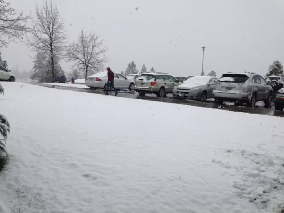
Weather Service Calling for Winter Storm into the Weekend
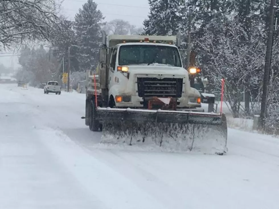
The National Weather Service office in Missoula is calling for an end to the warm springtime weather in time for the weekend when a cold arctic front is headed toward western Montana from the east.
Senior forecaster Bob Nester sets up the scenario for the storm starting on Friday.
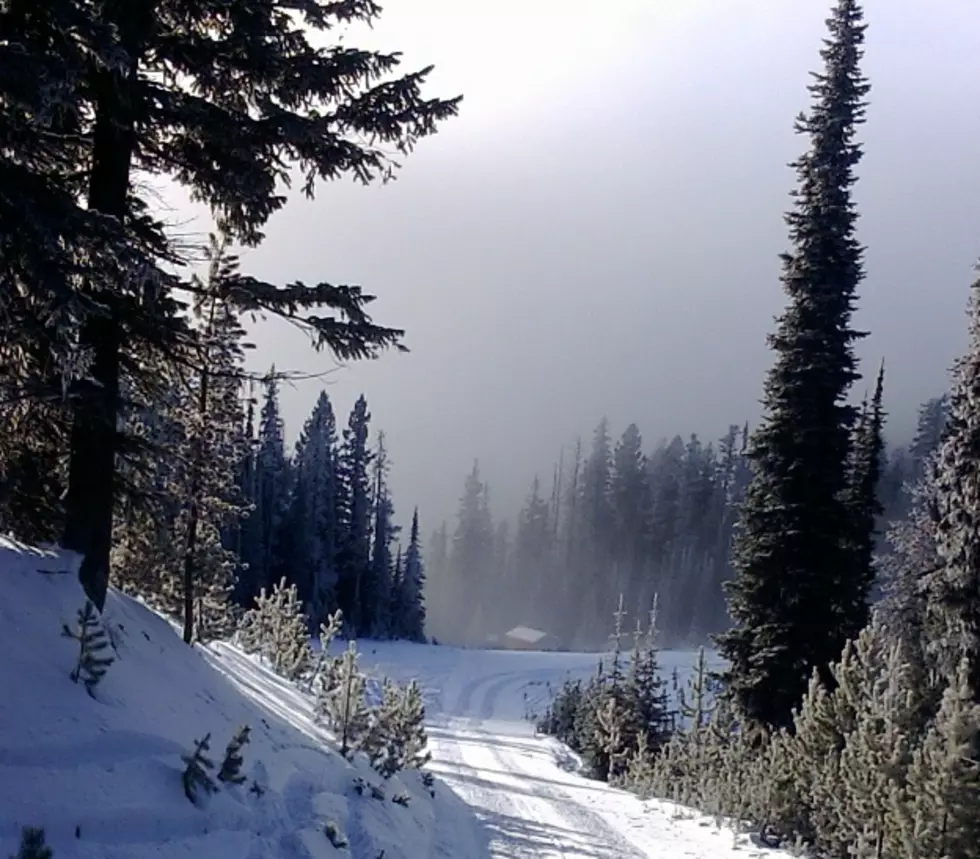
“It’s a pretty rare late winter season storm,” said Nester. “There’s an arctic air mass coming down out of Alberta that will be moving into eastern Montana and central Montana will both be affected with snowfall. That arctic air will be spilling over the divide and as it does it will bring wind and snow. We’re expecting anywhere from five to 10 inches of snow over the mountain passes, primarily affecting Marias and MacDonald passes.”
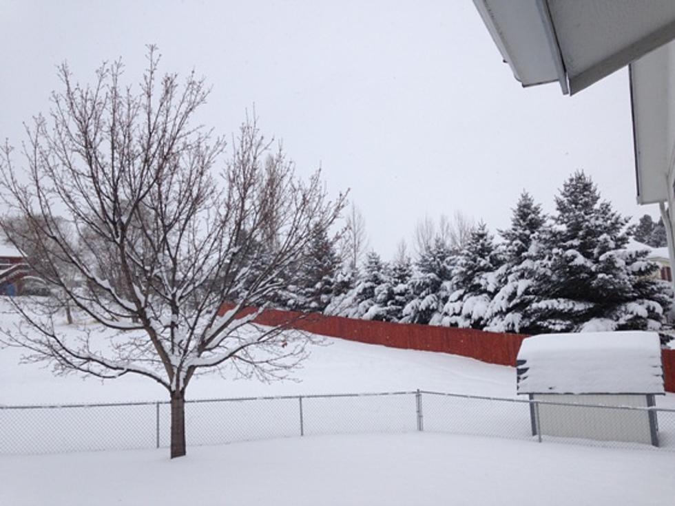
Nester said there may some snow in the Missoula valley as well from the early spring storm.
“It’s going to be cold enough for snow, perhaps an inch or two in the Missoula valley, however, as it falls during the day we expect the snow to be primarily over grassy surfaces and maybe some slush on the road,” he said. “When that happens and some of that melts on the road then by the evening time it might refreeze towards the evening hours.”
Nester said the storm could be severe enough to make the weather service history books.
“Given the time of year, we’re expecting much colder temperatures overnights on both Saturday and Sunday nights with low temperatures near 15 or 16 degrees on Sunday morning in Missoula,” he said. “That would be a record for cold temperatures for both nights, and looking back at the records, this is probably one of only five storms this late in the season that will be this cold, all the way back to 1893.”
Nester said the winds will be especially strong in the Flathead valley with the danger of downed trees and power lines.
More From 94.9 KYSS FM


