NWS – Snow and Very Cold Temperatures Headed to Western Montana
The National Weather Service is forecasting snow and much colder temperatures for western Montana starting as soon as Wednesday evening, according meteorologist Luke Robinson.
“Starting tonight, we are looking at some snow bands that could put down moderate to heavy snowfall in a short period of time,” said Robinson. “Over the weekend we’ll start to see colder air and a lot more moisture moving in over the weekend and into next week. We’ll definitely start to see a real Montana winter soon.”
Robinson said much colder temperatures are definitely on the way.
“Depending on how much snow we get in the next three to four days we could see low temperatures getting down below zero with some wind chills getting down to 20 to 40 below zero, particularly up in northwestern Montana,” he said. “20 below wind chills are not out of the question for the Missoula area by mid week of next week, and then our high temperatures will probably only be in the upper teens.”
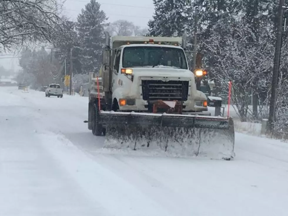
Robinson said the snow totals even in the valleys will be impressive.
“I would say that northwest Montana valleys have the best chance of getting a foot or even more of snow by mid week of next week,” he said. “Here in the Missoula valley we should at least see several inches by then, but there is an outside chance that we could see up to a foot of snow over a several day period.”
More From 94.9 KYSS FM