Missoula officials watching river gauge as weekend temps tease 80s
Martin Kidston
(Missoula Current) The wintry mix of rain and snow in recent days will give way to summer-like temperatures this weekend, prompting local officials to begin watching the river gauge.
The National Weather Service in Missoula is forecasting temperatures in the low- to mid-80s come the weekend. There's a 25% chance that temperatures could top 85 degrees on Sunday, one of the earliest points such temperatures have been recorded.
“Our first normal 85-degree day is May 28,” said meteorologist Brian Conlan. “If we were going to do it, it would probably be on Sunday. It would be the eight earliest day if it happens. It would be really early for that kind of temperature.”
While the warm-up will be rapid, officials aren't concerned about an equally rapid snowmelt, at least not yet. Nighttime temperatures are expected to stay above freezing but will be cool enough to keep the melt at a trickle.
“There's only a small number of models that show moisture by the middle of next week. That would be our biggest concern, adding moisture while the snow is melting off,” said Conlan. “Most of our rivers right now are at historical lows for this time of year. What this slow and steady melt will probably due is just bring us up to what's normal for this time of year.”
Adriane Beck, director of disaster and emergency services for Missoula County, said the rapid warm-up will prompt officials to watch the rivers and streams a little closer than normal for April.
However, officials aren't overly concerned of flooding.
“Our greatest hope is that we discharge some of that water and cool back down and go through that yo-yo for the next couple of weeks,” she said. “Our biggest concern with the warm-up would be a rain event on top of that.”

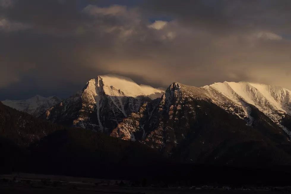
According to the Natural Resource Conservation Service, western Montana is sitting on a decent snowpack. As of Monday, the Bitterroot basin was 112% of normal while the Upper Clark Fork was at 108% of normal. The Lower Clark Fork was 98% and the Flathead basin was 99% of normal.
“There's always concern how quickly that snowpack comes out and what our summer fire and drought potential looks like,” Beck said. “As soon as we're done looking at flood season, we'll immediately turn our eyes to trying to predict what the fire season will look like. We're feeling pretty good right now, but things can change really quickly.”
More From 94.9 KYSS FM