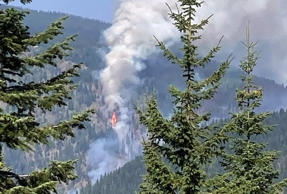
Hot Winds Push Montana Forest Fires
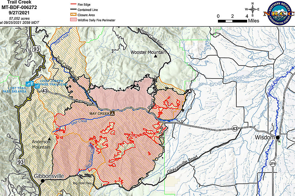
Continuing hot temperatures and gusty winds are causing some growth on forest fires south of the Bitterroot Valley in the Beaverhead-Deerlodge National Forest. The largest fire along Highway 43 is the Trail Creek Fire, which is currently mapped at 44,254 acres. The lightning-caused fire moved toward the Gibbonsville, Idaho, area Sunday and Monday, September 5 and 6. The Northern Rockies Incident Management Team requested additional resources to fight the fire.
The Trail Creek fire is moving along a ridgeline between Three Mile and Smithy Creeks (see map above). A retardant line was created along that ridge by aircraft. Also at the fire scene, there was an increase at Salix Creek and an area south of Highway 43. That highway and the Pioneer Scenic Highway remain open, but be careful of fire traffic. The Big Hole National Battlefield and May Creek Campground remain closed.
Also along Highway 43 on the Beaverhead-Deerlodge Forest, the Alder Creek and Christensen Fires merged over the weekend. It is now called the Alder Creek Fire and more firefighters have been requested there, too. The 28,360-acre fire, near Wise River, is expected to continue more active burning as the week goes on, with weather forecasts of hot temperatures and high winds.
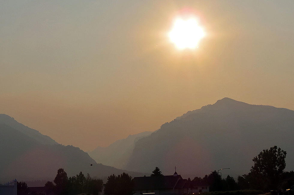
Smoke in Western Montana generally is coming from California and southern Oregon. However, the Nez-Perce Clearwater National Forest saw new activity on their 26 backcountry fires, including the Storm Creek fire, a mile west of the Montana-Idaho border. Recent smoke was coming from the Beaver Creek drainage over the weekend. The Storm Creek Fire was last estimated at 15,123 acres. The Dixie-Jumbo Fires, 15 miles south of Elk City, Idaho, are still about 46,000 acres and there was a slight increase over the weekend. Fire season is definitely not over.
10 Most Mispronounced Towns in Montana
LOOK: What are the odds that these 50 totally random events will happen to you?
More From 94.9 KYSS FM
