Here Comes The Smoke
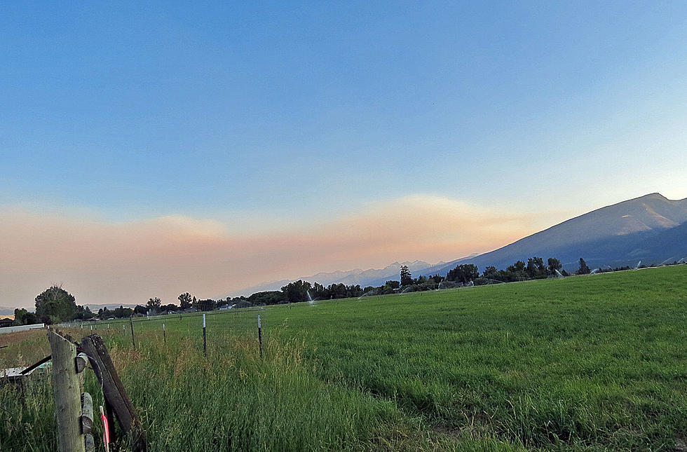
Monday, a wildfire west of the Bitterroot, near Dixie, Idaho, grew to 400 acres in a short time, even with fast response by air tankers. The Dixie Fire and the smaller Summit Flat Fire both put up lots of smoke that drifted into the Bitterroot Valley south of Hamilton Monday afternoon and evening. The Dixie Fire has required a warning for the public to avoid Forest Road 222 between Dixie and Red River Ranger Station. As of Tuesday morning, there are no evacuations, yet.
The general haze that has been affecting the air quality in western Montana has been coming from other fires west of the state, including northern California's 25,000-acre Lava Fire and the 10,000-acre Tennant Fire. A National Weather Service map showed the smoke pushed by the wind through southern Oregon on to the Idaho Panhandle and into western Montana.
At the weekly fire update for the Ravalli County Commissioners, Emergency Coordinator Eric Hoover said that most fireworks-caused fires were in the north part of Ravalli County. He said the entire state is looking at possible restrictions due to the increasing drought conditions. Meanwhile, Mark Wilson of the Bitterroot National Forest reported that only two small fires remain active from last week's lightning storms. Meanwhile, those same storms caused over 20 fires in Idaho in the Nez Perce-Clearwater National Forests.
The Bitterroot National Forest has "High" fire danger, while the Idaho forests are at "Very High" to "Extreme" early in this fire season. In Idaho, further fire restrictions are being considered in the next week. Please be very careful with campfires and make sure your campfire is completely extinguished when you leave your campsite. For more information, check the Bitterroot National Forest Facebook page.
LOOK: Here are the 50 best beach towns in America
More From 94.9 KYSS FM


