Sunday brought its own series of thunderstorms driven by strong winds into western Montana. Meteorologist Brian Conlan with the National Weather Service has details.
According to the Missoula National Weather Service Office, there is the potential for severe thunderstorms in western Montana on Saturday afternoon into the evening hours.
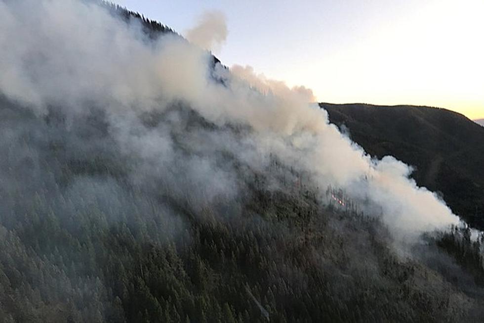
Once again the familiar aroma of wood smoke is coming through open windows in western Montana. Meteorologist Ryan Leach with the National Weather Service in Missoula explains where the smoke is originating.
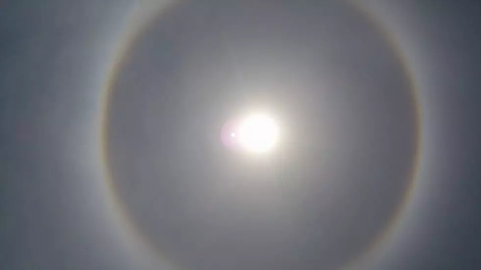
The National Weather Service is warning that extremely hot weather with temperatures in the mid to upper 90’s is expected next week, along with a chance of accompanying thunderstorms.
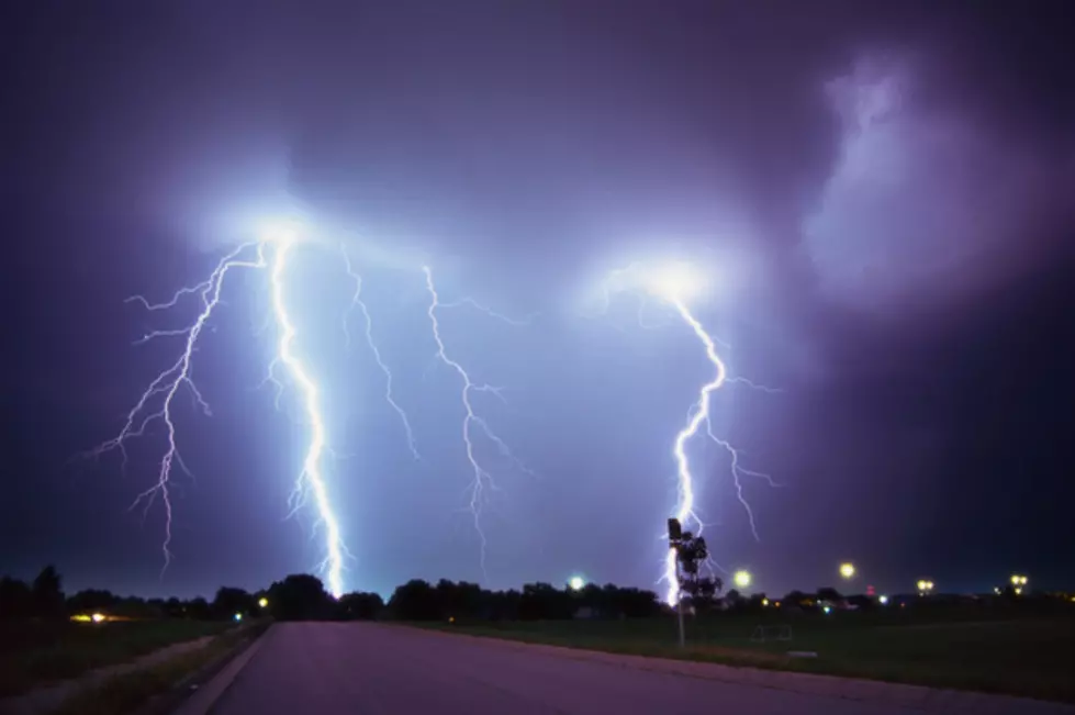
Storm watchers had a treat on Saturday night into Sunday morning as spectacular thunderstorms moved through western Montana dishing out an amazing amount of lightning and thunder.
With the exception of the 4th of July itself, the holiday weekend was dominated with cooler weather and thunderstorm activity throughout western Montana.
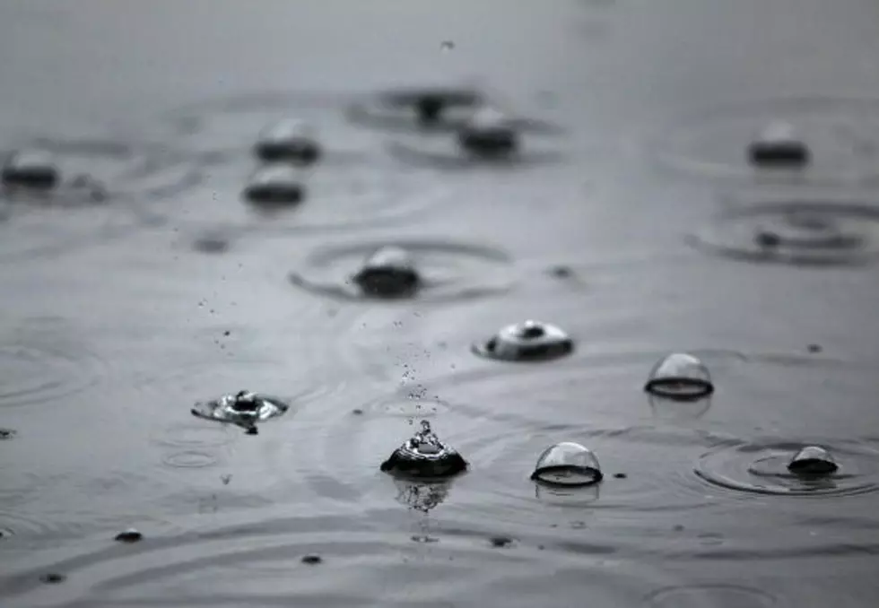
With the heavy rain that Missoula has received over the past 24 hours, there has been some concern that rivers might have more water overflowing their banks, but the National Weather Service says not necessarily
The National Weather Service has been keeping a close eye on the Clark Fork River as the weather has been warming, and they are now predicting that the Clark Fork River will exceed the 7.5 foot flood stage this week, according to meteorologist Jennifer Kitzmiller.
It’s not your imagination, this really has been a very wet and very cold start of the year in western Montana, according to the National Weather Service