Strong Damaging Winds – Snow – Predicted For Thanksgiving Night
The National Weather Service is predicting with moderate confidence for today that Western MT will experience strong and potentially damaging winds with an approaching cold front, with winds at 25 to 35 mph, gusting to 40 to 60-plus mph possible, peaking between 5pm-12am.
The results could mean downed trees and possible power outages.
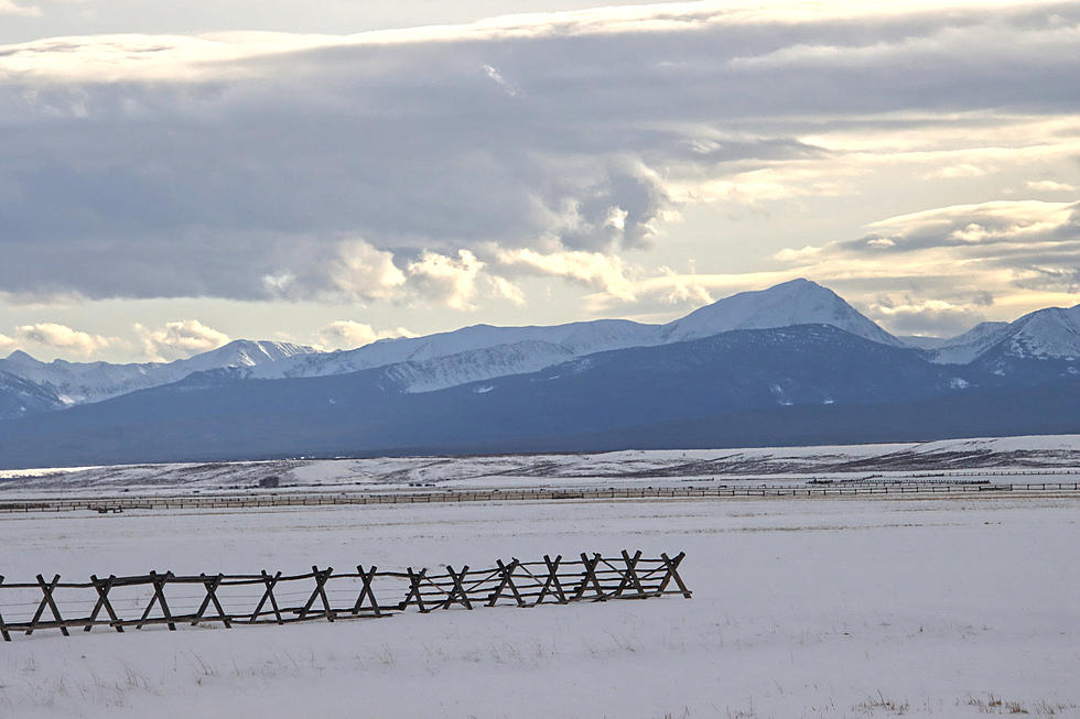
There could be rain, then a short period of high intensity snow & blowing snow on area mountain passes, especially Lolo Pass & Lost Trail Pass tonight into early tomorrow morning.
There could be brief rain or rain/snow mix for elevations below 4000 feet, as well.
Then, for Friday through Sunday morning, conditions will be colder, drier, and mostly cloudy with isolated rain or snow showers.
From Sunday afternoon into Monday, the cold front will change rain into all snow for mountain passes and surrounding roads by Sunday night. The snow levels will lower to near-valley floors by Monday morning, causing a rain/snow mix for area valleys.
This colder system could cause wet roads to become icy, particularly over area mountain passes. These conditions could affect Thanksgiving travelers for Sunday night, and also for Monday morning commuters.
More From 94.9 KYSS FM