Pacific Front to Bring Snow – Strong Winds to Western Montana [YouTube]
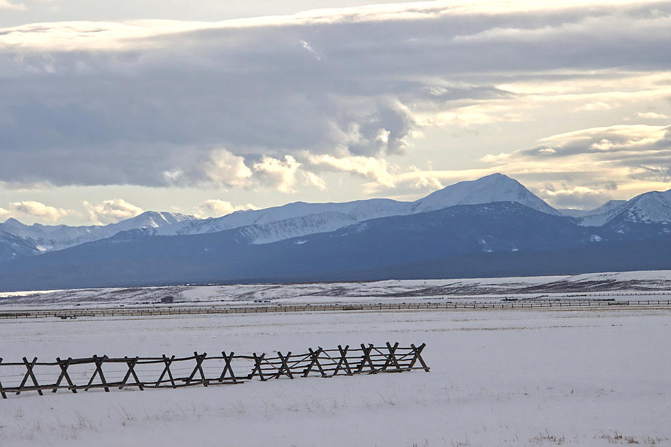
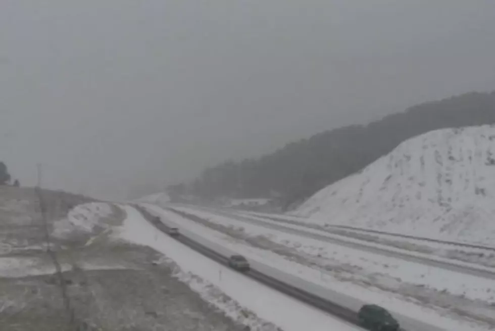
A cold front will be coming through western Montana starting on Tuesday, bringing winds from 30 to 35 mph, and gusts of over 40 mph in the Bitterroot Valley.
Meteorologist with the National Weather Service, Travis Booth, said the system is fairly strong.
"The cold front will pass through the area starting Tuesday, bringing with it some showers and breezy conditions," Booth said. "Then, right behind it, we have a cool and unsettled pattern that will take us into the coming weekend."
Booth said the system will produce some snow in the area.
"Wednesday and Thursday, there could be some snow showers all the way down to the lower valleys," he said. "The mountain passes could see a few inches that could slow down travel a bit. The system won't be strong, but almost spring-like with scattered showers at times."
Booth said the high temperatures will dip into the 40's by the middle of the week, with lows into the upper 20's.
The National Weather Service is warning that the system will bring strong winds with gusts to 40 mph in the Bitterroot valley, and from 40-45 mph from Drummond to Deer Lodge. Wind gusts could increase to 40-50 mph in the Salmon, Idaho area.
More From 94.9 KYSS FM