National Weather Service Says Look for Arctic Holiday Weekend
Forecasters are predicting a big change in the weather for the Northern Rockies Friday night into Saturday.
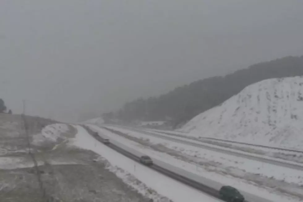
The National Weather Service said moisture will interact with an arctic front pushing into northwest Montana late Friday night into early Saturday morning.
"We actually have a couple of features that are going to happen and we are still receiving one impact from the feature of this steady moisture streaming into the area," Meteorologist Trent Smith said. "For the next couple of days we'll probably see that continue to move a little bit northward and cut into Canada. Temperatures are going to warm and we should see a pretty nice Thanksgiving Day which should continue into Friday. But we are going to continue to get this pretty good stream of moisture over the region."
Forecasters said this arctic will enhance the snow production for areas north of the I-90 corridor. The arctic will finish pushing across western Montana on Saturday afternoon. The arctic is anticipated to cause strong easterly winds especially across Glacier Park into Flathead valley.
"But then come late Friday night into Saturday morning we're going to start seeing this arctic," Smith said. "It looks to be a pretty strong arctic that will be coming in. As that arctic spills over the Continental Divide into northwest Montana, it will interact with that moisture feed causing an enhancement in the precipitation and actually cause snow to start falling into the valley bottoms."
NWS said the combination of enhanced snow and strong winds will cause localized blizzard conditions. Another concern is rain changing to snow followed by very cold temperatures.
More From 94.9 KYSS FM