Montana Snow and Weather Update For Next Week (Plus: Hubba Hubba)
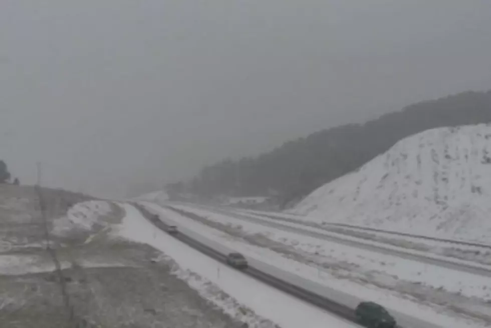
If current computer models and forecasts hold true, we’re finally in for winter-like weather next week.
According to National Weather Service Forecaster Mike Johnson (reported by the Montana News Network), the snow will start Sunday and then intensify into the middle of the week with significant mountain snowfall.
The computer models show this system could hang around into the following weekend (the mountains of north central Idaho, the Missions and the Seeley Swan areas could get the most snow).
Need more info? Missoula's Ministers of Weather have your hubba-hubba-hupdate below.
-The Craig and Al Ghostwriter
More From 94.9 KYSS FM